


Bavigne 15,6 km

rvapeldo
User GUIDE
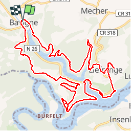

Length
15.7 km

Max alt
421 m

Uphill gradient
477 m
Km-Effort
22 km

Min alt
320 m

Downhill gradient
480 m
Boucle
Yes
Creation date :
2019-11-30 09:21:04.0
Updated on :
2019-11-30 15:20:54.906
5h55
Difficulty : Medium

FREE GPS app for hiking
 SityTrail
IGN / Geographical institutes
SityTrail Plus
The world is yours!
About
Trail Walking of 15.7 km to be discovered at Unknown, Canton Wiltz, Lac de la Haute-Sûre. This trail is proposed by rvapeldo.
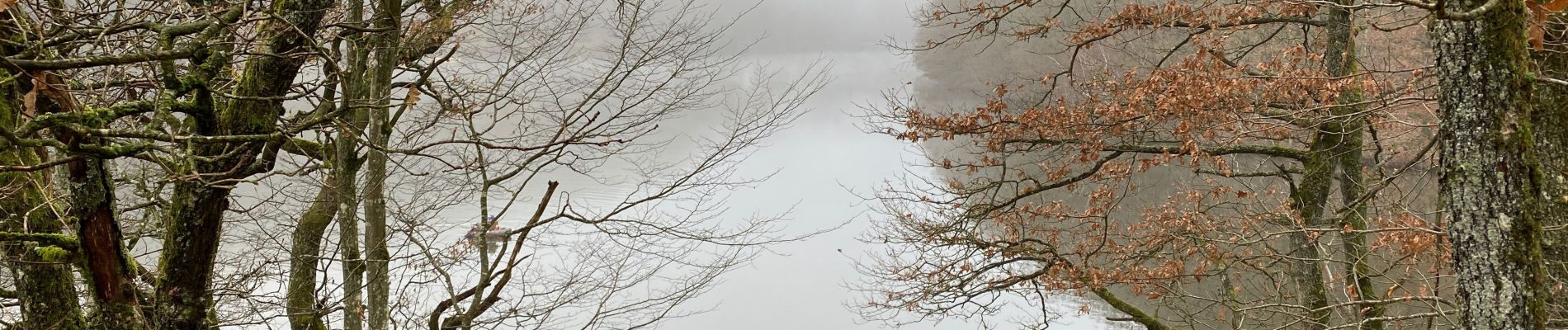
Photos


Positioning
Country:
Luxembourg
Region :
Unknown
Department/Province :
Canton Wiltz
Municipality :
Lac de la Haute-Sûre
Location:
Unknown
Start:(Dec)
Start:(UTM)
704461 ; 5533713 (31U) N.
Comments